


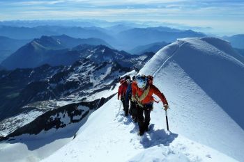

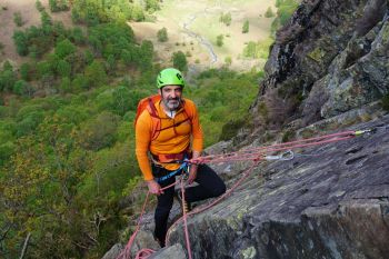
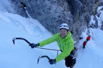
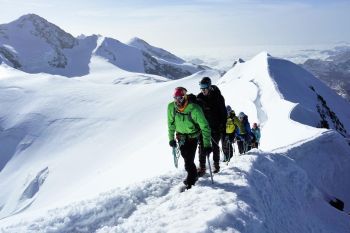
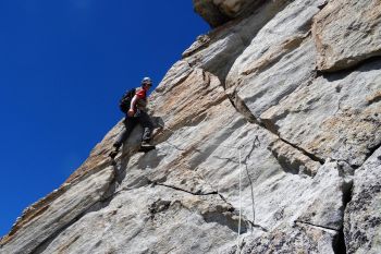
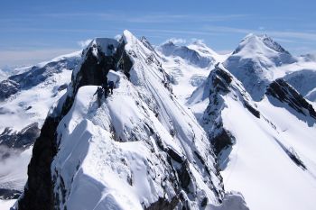
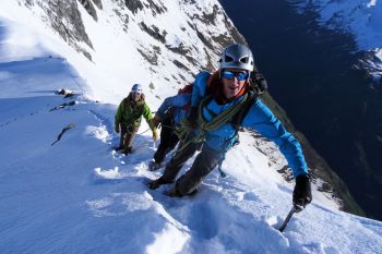
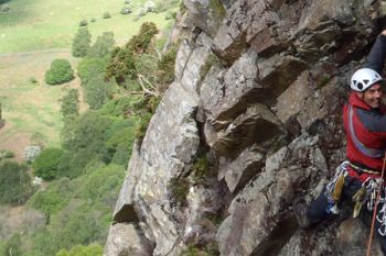


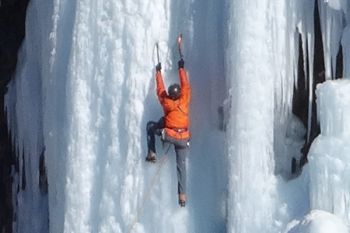
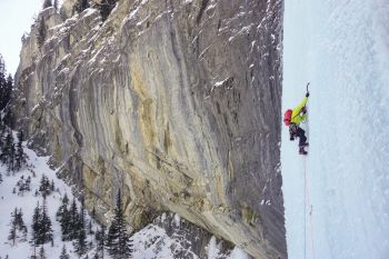

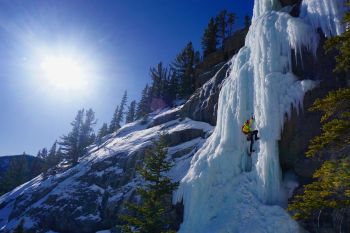

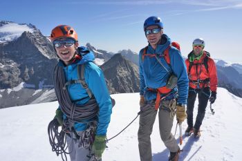
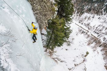
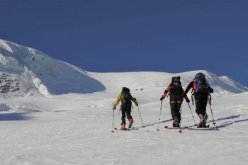
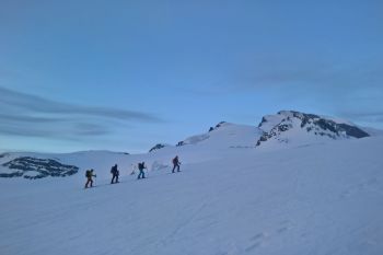

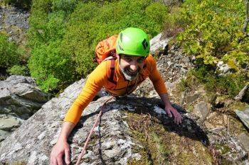

Team Spotlight
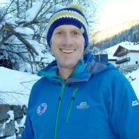
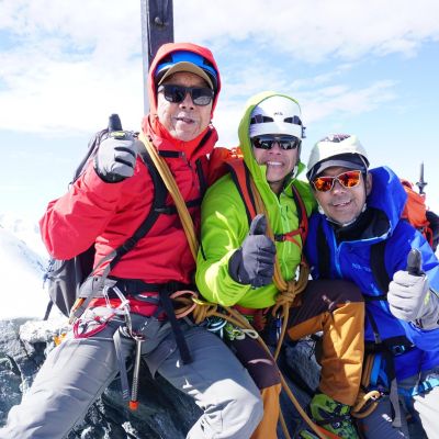
Matt Stygall
IFMGA British Mountain Guide
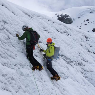
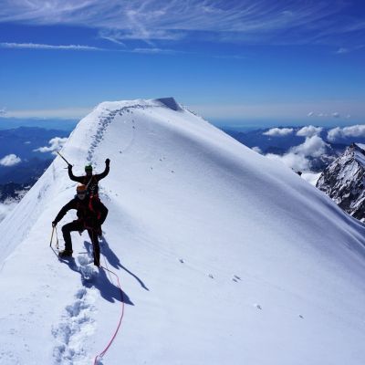
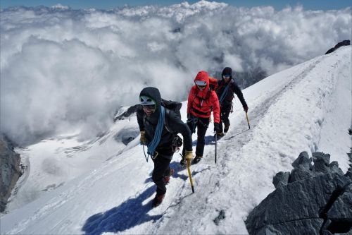
Originally from the flatland of Norfolk, Matt soon escaped to the highlands of Scotland, to cut his teeth on the Scottish winter climbing scene there. He then worked full time at Plas Y Brenin in North Wales…
Read More